Searching for the Oldest Map of Europe
Forget the digital voice in your dashboard that insists you should drive into a canal because it is the quickest route to the local bakery. Long before we had satellites beaming directions to our pockets, our ancestors were trying to figure out where they had left their mammoths. It turns out that the oldest map of Europe was actually a heavy slab of stone discovered in a dusty French cellar.
A Very Heavy Paper Trail
Imagine for a moment that you are a Bronze Age chieftain with a bit of a real estate problem. You have conquered a lovely valley, but you do not have a way to prove it to the neighbours without constant shouting matches. Around 4,000 years ago, someone in Brittany decided that the best way to handle this was to grab a slab of schist and get carving. This hunk of rock, known as the Saint-Bélec slab, lay forgotten for centuries until it was unearthed in 1900, only to be tossed into a museum basement for another hundred years.
Historians eventually realised this was not just a prehistoric doodle. It was a topographical representation of the Odet valley. When we talk about cartography, we usually think of parchment and ink, yet this stone relic proves that humans have always been obsessed with claiming territory. Using a slab of rock as a map does have its drawbacks, specifically that you would need a team of oxen just to navigate to the nearest pub, but it certainly beats a low battery notification.
Why Ancient Cartography Is Better Than GPS
Modern travel has become a bit too clinical. We follow a blue dot on a screen and feel a sense of existential dread if the signal drops for three seconds. In the ancient world, navigation was an adventure involving stars, mossy trees, and the occasional terrifying sea monster. The oldest map of Europe reminds us that the world was once a place of mystery and physical boundaries. There were no pop-up advertisements or rerouting pings.
Instead of clear motorways, these early maps showed rivers and hills as bumps and grooves. If you were a traveller in the Bronze Age, your version of Google Maps was a heavy piece of stone that probably doubled as a very effective doorstop. There is something deeply human about the desire to mark our place in the world. Even if the proportions are slightly wonky and the scale is more of a suggestion than a rule, it represents the birth of our need to explore beyond the next ridge.
Chasing The Oldest Map Of Europe Across History
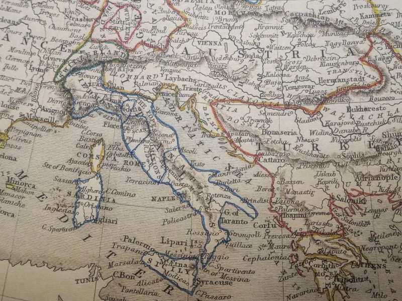
As centuries rolled by, maps became less like DIY masonry projects and more like works of art. By the time the Greeks and Romans got involved, things started looking a bit more familiar. However, they still had a habit of putting Italy right in the centre of everything and making the rest of the world look like a slightly melted pancake. Travel in these times was not about the destination so much as it was about surviving the journey without being eaten by something with too many teeth.
If you visit a museum today to see these relics, you are looking at the evolution of human curiosity. We moved from stone slabs to vellum made from sheepskin, which was much easier to carry but significantly less durable if you dropped it in a campfire. Each iteration of these maps tells a story of a culture trying to understand its neighbours, or more often, trying to figure out the best way to invade them. It is a tradition that continues today, though usually via TripAdvisor reviews rather than infantry divisions.
The Joy Of Getting Lost Properly
There is a specific kind of magic in a physical map that a smartphone simply cannot replicate. A paper map allows you to see the whole world at once, rather than peering through a digital straw. It invites you to look at the blank spaces and wonder what is there. The creators of the oldest map of Europe were not just recording facts; they were capturing their entire known universe. For them, the edge of that stone slab was the edge of existence.
Today, we use travel to escape our routines, but we often bring our digital tethers with us. Perhaps the lesson from our stone carving ancestors is that we should occasionally turn off the voice guidance and just look at the landscape. If a Bronze Age farmer could find his way home using a scratched rock, you can surely find your hotel in Prague without needing a satellite to hold your hand. There is a great deal of satisfaction to be found in navigating by landmarks and instinct.
Trading Pixels For Prehistoric Patterns
When you eventually find yourself standing in front of a prehistoric artefact in a museum, take a moment to appreciate the sheer effort involved. Someone had to sit down with a flint tool and painstakingly chip away at a rock to show where the river bent. They did not have the luxury of a delete key or a zoom function. If they messed up the location of a mountain, that mountain was just going to be in the wrong place for the next four millennia.
This permanence is what makes ancient cartography so fascinating. Our current digital maps are updated every few seconds, erasing the past as soon as a new bypass is built. The stone maps of the past are a frozen moment in time, showing a landscape that has long since changed. They are a reminder that the earth is constantly shifting, yet our desire to pin it down remains constant. It is a beautiful, slightly mad pursuit that has defined our species since we first crawled out of a cave and wondered what was over the next hill.
Final Thoughts On Navigational History
The world is a much smaller place than it used to be, but that does not mean the age of discovery is over. We might not be carving our holiday routes into pieces of schist anymore, but we are still searching for that same sense of connection to the land. Whether you are using a high tech app or a crumpled piece of paper you found in the glove box, you are part of a lineage of explorers that stretches back to the very beginning of human history.
As you plan your next trip across the continent, remember that you are walking on ground that has been mapped, contested, and admired for thousands of years. From the crudest carvings to the most precise satellite imagery, our maps are the journals of our collective journey. It is a wonderful thought that we are still looking at the same stars and rivers that guided the hands of those first ancient cartographers. The quest to find and understand the oldest map of Europe is really a quest to understand ourselves.